Albuquerque
Albuquerque, city on the Rio Grande in New Mexico, USA, grdl. 1706; 545,900 residents (2010). Since the 1950’s, the city has been characterized by fast-growing suburbs and a town center, Old Town, with restored buildings from Spanish colonial times. Albuquerque in particular used to be a well-visited health resort (tuberculosis sanatoriums); later known to Kirtland Air Force Base and the federal research institute Sandia Laboratories (nuclear power, aerospace, solar energy). 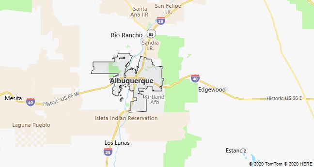
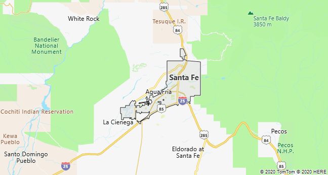
Santa Fe
Santa Fe, the capital of New Mexico, USA 90 km NE of Albuquerque; approximately 2100 masl, 67,900 residents (2010). The city, which according to Spanish building customs is built around a plaza, is both culturally and architecturally a colorful mix of Native American and Spanish-Mexican influences. It is a major tourist destination and known for its well-kept, clay-lined houses, several of which are decorated as galleries with Native American crafts. Attractions include the Palace of the Governors (1614), the Chapel of San Miguel (1636), the Georgia O’Keefe Museum (1997) and the Museum of Indian Arts and Culture at the prestigious Laboratory of Anthropology. The surrounding Sangre de Cristo Mountains are a popular ski resort in winter. Of great economic importance is the nearbyLos Alamos National Laboratory.
Santa Fe was established in 1610 as the administrative center of the Spanish possessions in the territory. The city was evacuated by the Spaniards during an uprising, initiated by Pueblo and Apache Indians in 1680, but rebuilt in the characteristic adobe style 12 years later. When Mexico became independent in 1821, the city became an important trading post on the so-called Santa Fe Trail, which originated in Missouri. When the entire area in 1848 was acquired by the United States, the city became the capital of New Mexico territory in 1851 and in 1912 the capital of the state of the same name.
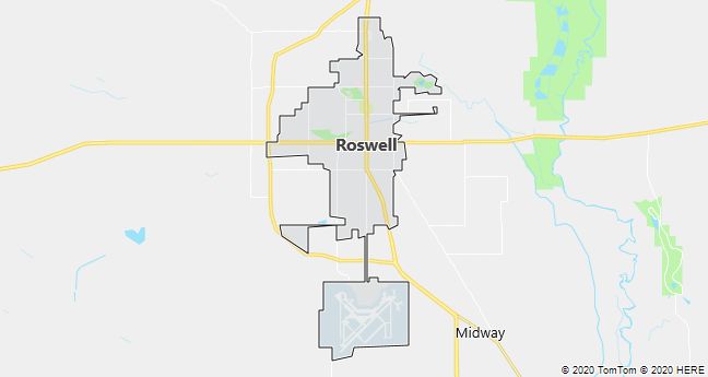
Roswell
Roswell, a town in southeastern New Mexico, USA; 48,400 residents (2010). The city became grdl. 1871 and is service city for large oil fields SE of the city. However, it is especially known among UFO enthusiasts who believe that a balloon from a nearby military base, which crashed in the summer of 1947, was in fact a UFO. The city has a significant tourist visit to a UFO museum and an annual alien festival; there is even an alien depicted on the city’s official seal.
In 1997, it was officially established that the balloon originated from a project to detect Soviet nuclear explosions using high-flying balloons.
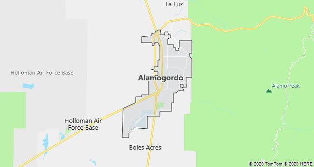
Alamogordo
Alamogordo, a desert city in southern New Mexico, USA; 41,300 residents (2010).
On July 16, 1945, the world’s first atomic bomb was detonated at the Trinity Site, approximately 80 km NW of the city.