North America is the third largest continent and forms the northern part of the American double continent. The area is 24.2 million square kilometers. This represents 17.6 per cent of the Earth’s total land area.
The continent is delineated in different ways. According to the official statistics of the UN statistics, the continent includes Canada and the United States, Mexico and south to Panama ‘s border with Colombia, including the Caribbean, Bahamas and Bermuda in the Atlantic. The latter area is also called Central America. In addition, Greenland comes in the northeast.
North America is separated in the northwest from Asia by the Bering Strait and in the south by South America on the border between Panama and Colombia. The continent borders the Arctic Ocean in the north, the Pacific Ocean in the west, the Caribbean Sea in the south and the Atlantic Ocean in the east. The range from northwest to southeast is approximately 10,000 kilometers.
Culturally, the continent is often shared in Anglo- America (Canada and the United States) and Latin America, of which Central America, including the Caribbean, is a part. Hawaii is considered political to North America since the archipelago constitutes a US state. Greenland is considered geographically to North America, but politically to Europe.
North America’s highest mountain is Mount McKinley (Denali) in Alaska at 6,194 feet above sea level. The longest river is 6275 miles long Mississippi-Missouri-Jefferson, and the largest Lake Superior lake at 82,100 square miles. The lowest point is in Death Valley, California, 86 feet below the ocean.
States and territories
North America is divided into 23 independent states. In addition, there are 13 British, French and Dutch possessions and an autonomous part of Denmark.
Based on Countryaah.com, North America’s largest country is Canada and the smallest are Saint Kitts and Nevis. The largest possession is Greenland, the smallest is Bermuda.
List of states and territories in North America
- US Virgin Islands
- Anguilla(British)
- Antigua and Barbuda
- Aruba(Dutch)
- Bahamas
- Barbados
- Belize
- Bermuda(British)
- British Virgin Islands
- Canada
- Cayman Islands(British)
- Costa Rica
- Cuba
- Dominica
- Dominican Republic
- El Salvador
- Grenada
- Greenland(Danish)
- Guadeloupe(French)
- Guatemala
- Haiti
- Honduras
- Jamaica
- Martinique(French)
- mexico
- Montserrat(British)
- Netherlands Antilles(Dutch)
- Nicaragua
- Panama
- Puerto Rico
- Saint Kitts and Nevis
- Saint Lucia
- Saint-Pierre and Miquelon(French)
- Saint Vincent and the Grenadines
- Trinidad and Tobago
- Turks and Caicos Islands(British)
- United States
Geography
North America can be divided into six main areas: the western mountain areas, the coastal plains, the inner lowlands, the bedrock, the Appalachians and the archipelago.
The western mountain areas
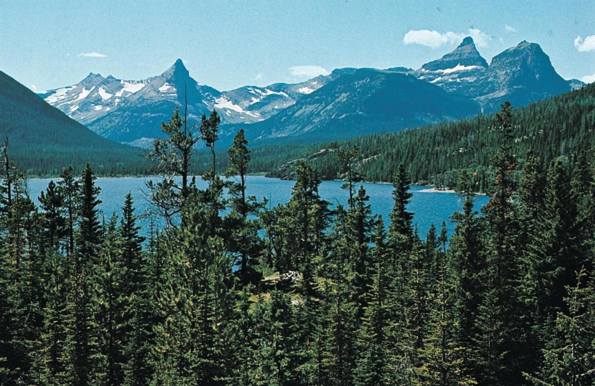
The western mountain ranges are elongated mountain ranges through western parts of Canada, the United States and Mexico with foothills south to Panama that enclose intermediate plateaus, high plains and desert lows. Plateau country is the Colombia and Colorado plateau of the United States and the Mexican Central Plateau. Examples of desert lowers, in part with salt lakes, are the Great Basin and Death Valley in the United States.
The mountain range folds went from perm to tertiary, while the plateaus mostly have sediments from these time periods. The lowers are filled with degraded material from surrounding mountains. The mountains consist of bedrock and paleozoic rocks.
Volcanic activity has left testimony in lava areas on plateaus and volcanic mountain peaks – for example, Mount St. Helens in the United States had a violent outbreak in 1980. Faults, including the San Andreas fault, form the boundary between two crustal plates and are the cause of frequent earthquakes.
Coastal Plains
The coastal plains comprise most of the southern states of the United States, the east coast of Central America and other parts of Nicaragua and Panama. These are sea deposits from Triassic to Tertiary. There are lagoons and marshy areas on the coast.

The Inland Lowlands
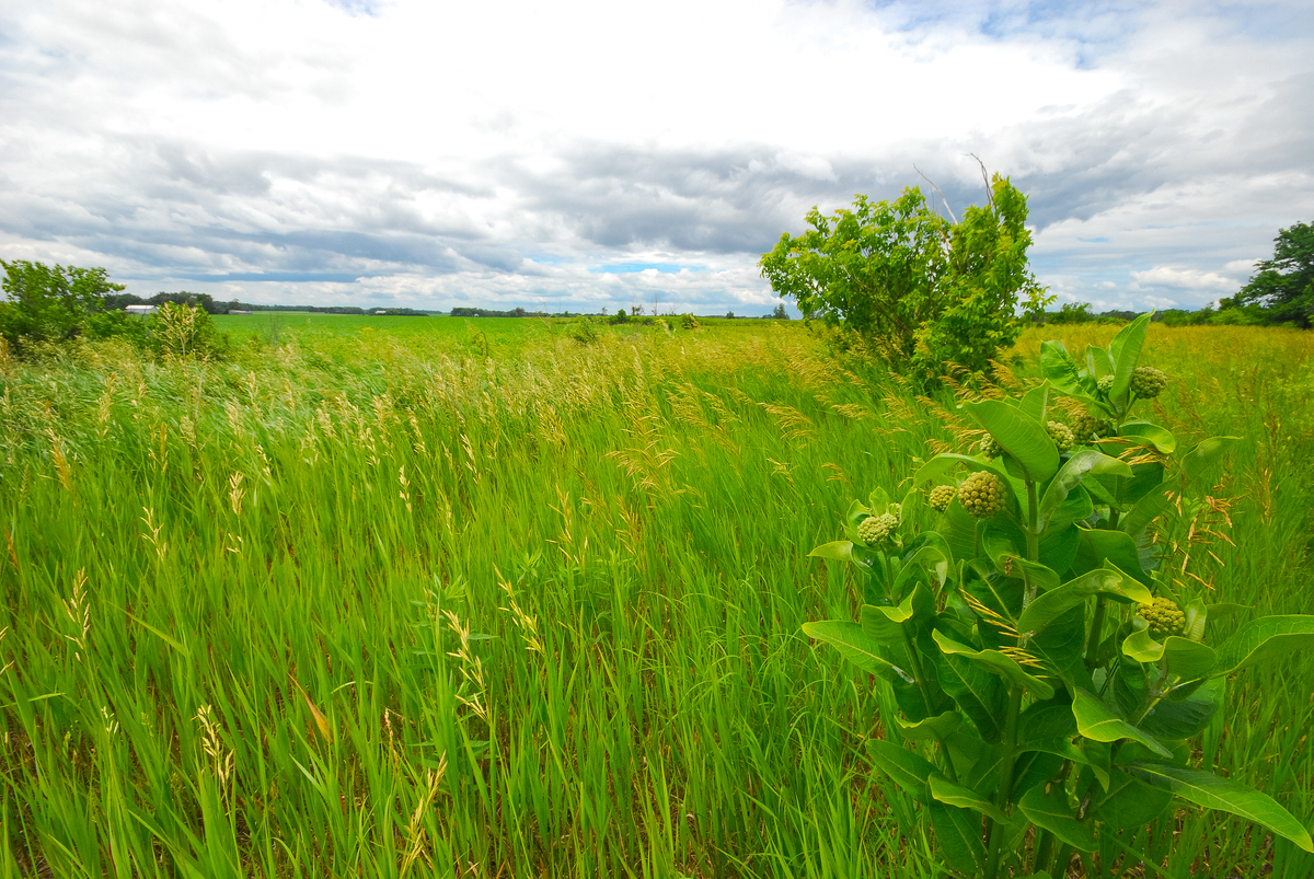
The Inland Lowlands consist of vast plains that lie east of the western mountain areas and north of the coastal plains of the United States. The plains mainly consist of sediments from the Rocky Mountains, the eastern parts of the Appalachians and the bedrock areas of Canada. The area is drained by large river systems, such as Mississippi in the south and Mackenzie in the north, in many places with cut river valleys. North of the Missouri and Ohio rivers are more hilly terrain of extensive moraine layers.
Bedrock shield
In the north and east, the inland lowlands are bounded by a vast arc of lakes – Great Bear Lake, Great Slave Lake, Lake Winnipeg and Great Lakes – formed by erosion and depression in the bedrock. The lakes form the predominantly southern boundary of the Canadian Shield and consist of old bedrock and an ice eroded area with low mountain plateaus and lower portions of lakes and marshes. On some of the Canadian polar islands and Greenland there are large glaciers.
Appalachians
The Appalachians constitute a mountain and ridge area in the eastern United States that was formed by folding during the Caledonian and Hercynian mountain range folds when North America and Europe were united in one continent. In the New England states, the landscape is eroded so that the Appalachians are separated from the coast by a fertile plain. Most eroded is the Mohawk – Hudson Valley through the Appalachians.
Island arcs
The archipelago includes the Great Antilles and the Little Antilles, which are large arches of islands north of the Caribbean Sea. Many of the mountain peaks, especially in the Little Antilles, are volcanoes. Cuba’s limestone plateau is karst landscape. Many small islands consist mainly of coral reefs. Near the archipelago there are several deep sea depths in several places. The deepest is the Puerto Rico pit, 9220 meters below sea level.
Geographical key figures
- Size: 24.2 million square miles
- Extension: About 10,000 kilometers from northwest to southeast
- Highest mountain: Mount McKinley(Denali), 6194 meters above sea level
- Longest river: Mississippi- Missouri, 5971 miles
- Largest lake: Lake Superior, 82,000 square miles