Chicago
Chicago, a city on Lake Michigan in Illinois, USA, nicknamed the windy city. City population 2.7 million (2010), area 590 km2.

Chicago is the center of an urban region of approximately 15,000 km2 (8.3 million residents), extending far into the prairie hinterland and neighboring states of Indiana and Wisconsin. Since the 1950’s, growth has taken place mainly in the huge suburban areas, partly in line with the rapid development of motoring and the possibility of longer commuting distances, partly due to the companies’ recent location in industrial parks along motorways and at airports; including the integrated complex towards the NW near the world’s busiest airport, O’Hare International Airport. The city itself, The Central City, despite the closure of many factories, including the large slaughterhouses (1971), has retained a significant industrial sector and is also a leader in, among other things. trade, finance, research and education. In addition, the city has a wide-ranging cultural and entertainment life with jazz clubs, sports arenas, conference centers, art collections, museums and concert halls.

The city’s distinctive skyline was founded in the late 1800’s, when Chicago was rebuilt after a major fire in 1871. The new steel structures used by Chicago school architects made the city the hearth of skyscraper architecture with buildings like Louis Sullivan’s The Auditorium (1887) and Carson, Pirie Scott & Co. Building (1904). Later skyscrapers are Raymond Hood’s Gothic Chicago Tribune Building (1925), Mies van der Rohe’s minimalist Lake Shore Drive (1958) and Skidmore, Owings & Merrill’s 442 m high Sears Tower (1974), which was then the world’s tallest building. The skyscrapers are located together near the original city center, which is separated fromLake Michigan and the harbor areas of a 20-25 km long, almost contiguous, green belt from Lincoln Park in the north to Jackson Park in the south.
The center of the city is the financial and business district The Loop, which is surrounded by the high-rise “The El”. In addition to theaters, shopping malls, offices and banks, the place houses some of the world’s largest stock exchanges for trading in stocks, industrial products and agricultural products (especially grain). Close to The Loop, where the city’s subways also converge, runs the Chicago River, which, along with a few radial highways (formerly Indian trails), breaks the monotonous, lattice-shaped street network.
The river, whose outlet into the lake was turned around the turn of the century due to pollution, divides the city into a North Side, West Side and South Side. As in the suburbs, the West Side is dominated by the white middle class, who are predominantly descendants of European immigrants, while the millionaire neighborhoods with “The Magnificent Mile” and other fashionable shopping streets are predominantly located on the North Side. The contrast is found in the heavily populated, impoverished ghetto neighborhoods of the South Side, which house most of the city’s total 40% black residents. In connection with this, the South Side has long been the hotbed of black rebel movements and black American consciousness: from the Nation of Islam founded by Elijah Muhammad in the 1940’s via the Black Power movement in the 1960’s and toOperation PUSH in the 1990’s (People United to Save Humanity).
In an effort to improve the living conditions of the city’s many poor people, the neighborhoods Near West Side, Pilsen and Near South Side – with a total of 200,000 residents and 25% unemployment – received the status of Empowerment Zone in 1994. Since then, the federal government has provided support for social assistance measures and tax breaks for local businesses.
Prominent museums and art collections are the Art Institute of Chicago, the Museum of Contemporary Art and the Museum of Science and Industry. A comprehensive account of the conditions of black Americans since the time of slavery can be found at the Du Sable Museum of African-American History.
History
Where present-day Chicago is located, in 1803 Fort Dearborn was built on an area ceded to the United States by Indians. The fort was destroyed during the American-English War in 1812, and actual settlement did not begin until 1830. Chicago was granted city status in 1837 and then had approximately 4200 residents. The construction of the Illinois and Michigan Canal 1836-48 and railway connections from 1852 contributed to the city already in 1870 having a population of approximately 300,000.
In 1871, a fire destroyed large parts of the city, leaving up to 100,000 homeless; however, the city was quickly rebuilt not least thanks to large-scale immigration from Europe in the 1900’s. was supplemented by immigration from the Southern States (black), Latin America and Asia. The city’s very complex ethnic character has repeatedly led to ethnic and racial antagonisms. With the growth of the city also came political struggles and labor market conflicts, the so-called Haymarket riots in 1886 and the Pullman strike in 1894.
During the Prohibition era in the 1920’s, Chicago became particularly notorious for gangsterism. However, the city has always been the economic, political and cultural center of the Midwest. Since the 1930’s, the city government has been led by the Democratic Party and until the 1980’s has been characterized by the party’s special boss rule. The growing number and importance of black voters meant that the city had a black mayor for the first time in 1983-87.
Peoria
Peoria, a port city on the Illinois River in central Illinois, USA; 115,000 residents (2010). The city, whose history dates back to the 1600’s, is a trade and transportation center on the shipping route between Chicago and the Great Lakes in the north and the Gulf of Mexico in the south. In line with the demise of a number of basic industries, Peoria has had a declining population since the 1960’s. 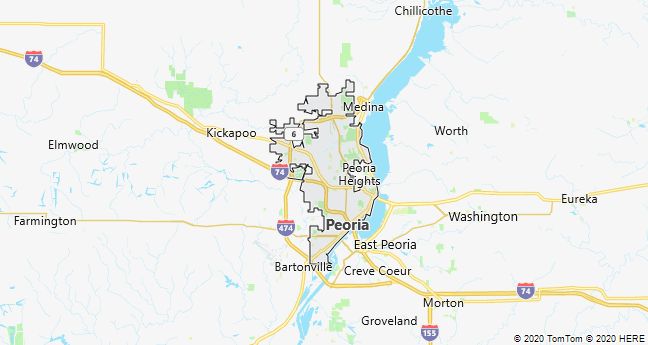
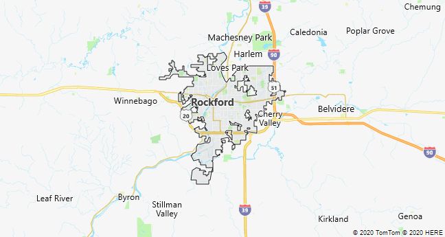
Rockford
Rockford, a city in Illinois, USA 130 km northwest of Chicago; city population 152,900 (2010), in the urban area 320,200 residents The city, located on the prairie in a vast agricultural area, has since the mid-1800’s. has been an important industrial center with the production of agricultural machinery and processed foods. The traditional furniture industry was founded by Swedish immigrants in the 1850’s, just as the renowned Swedish-American Hospital testifies to Swedish initiative.
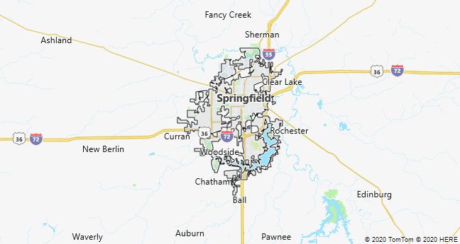
Springfield
Springfield (Illinois), the capital of Illinois, USA approximately 300 km SW of Chicago; 116,000 residents (2010). The town is characterized by administration and service activities and is a significant agricultural center; the Illinois State Fair has been held here since 1893. Abraham Lincoln lived in Springfield 1837-61 and was later buried here; his residence and burial ground have become national places of pilgrimage.