Hartford
Hartford, capital of the state of Connecticut, USA; 124,800 residents (2010). Hartford is known for its many insurance companies, the oldest of which was founded in 1794. In addition, the city houses state administration and a number of universities and colleges as well as a number of industries, including United Technologies, which ranks among the United States’ 20 largest industrial companies. 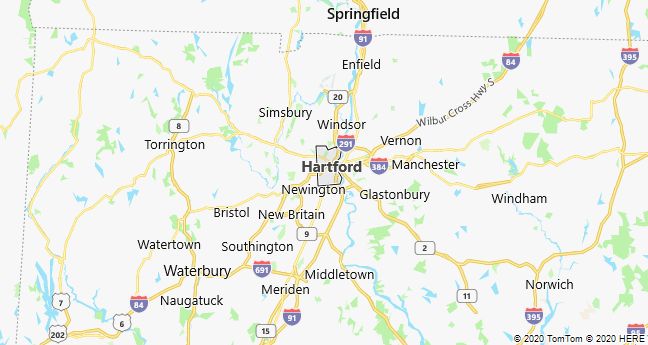
Hartford was founded by the Dutch in 1633, but was first populated in 1635 by emigrants from Cambridge, Massachusetts. During the Anglo-American War, the city was the seat of a political meeting, the Hartford Convention, on December 15, 1814-51.1815, during which disgruntled New England politicians initially threatened to leave the federation but ended up demanding greater power for individual states in USA. However, the war ended before the movement developed into a serious threat to the federal state.
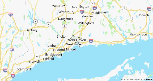
New Haven
New Haven, a port city on the Atlantic coast of Connecticut, USA; 129,800 residents (2010), of which 35% are black. The town was laid out according to a square town plan in 1638 by English Puritans. Together with the neighboring towns of Milford and Guilford, the colony of New Haven was formed in 1643, which in 1664 was united with Connecticut. The city has been known as an educational center since Yale University moved there in 1716. With names like Eli Whitney, Charles Goodyear, Samuel Morse and Samuel Colt, New Haven became one of the early American industrial centers.

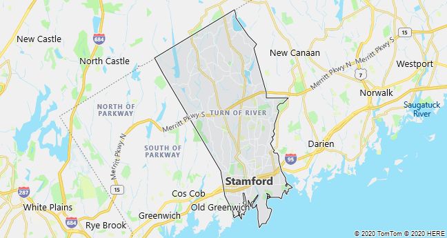
Stamford
Stamford, a town on the Atlantic coast of southern Connecticut, USA; 122,600 residents (2010). The city, which after World War II almost became a residential suburb of New York City, has since the 1970’s attracted several large business enterprises, whose modern office buildings now characterize the inner city.