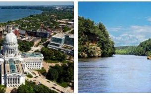
Phoenix
Phoenix, capital of Arizona, USA; 1.4 million residents (2010). The metropolitan area has 4.2 mill. The city, located in an irrigated valley, the Valley of the Sun, in central Arizona, has more than doubled its population since World War II and is now the eighth largest city in the United States. The growth has taken place in step with increased agricultural production (citrus fruits, vegetables, cotton) and a large influx of electronics, aerospace and industry (division of the aircraft factory McDonnell Douglasetc.). In addition, the city’s warm and sunny climate has attracted many elderly people, who for the most part live in special retirement cities such as Sun City and Sun City West. By virtue of Arizona State University Phoenix is an important educational center. In sports, it is known as the home of The Cardinals (American football) and The Suns (basketball). 
Tucson
Tucson, a city in southern Arizona, USA; 520,100 residents (2010), of which 42% Hispanics. Surrounded by mountains on a plateau in the Sonora Desert, the city has more than doubled its population since World War II. The growth is due to a combination of military bases and new industries (electronics and aircraft industry, etc.) and a pleasant, sunny climate that has attracted many pensioners. In the city center are the state’s largest and oldest educational institution, the University of Arizona (1885), and the historic neighborhood of El Presidio with remnants of the Spanish fortress city from 1776. Other tourist destinations are the Arizona-Sonora Desert Museum (20 km to the west) and nearby Old Tucson, which has been a vibrant western backdrop since filming Arizona in 1939, when Columbia Pictures “recreated” the city from the 1860’s.
Tempe
Tempe, a city in Arizona, USA; 161,700 residents (2010). The city, which is almost a southern suburb of Phoenix, is known for Arizona State University, if approximately The 300 ha campus contains Sun Devil Stadium (American Football), Nelson Fine Arts Center (Art Museum) and architect Frank Lloyd Wright’s famous Grady Gammage Auditorium, opened in 1964.
Petrified Forest National Park
Petrified Forest National Park, nature park in northeastern Arizona, USA; 381 km2. The park, which forms part of the desert landscape Painted Desert, has rich examples of petrified trees and other fossils from the Triassic and Jurassic. In addition, there are remains of Native American settlements and petroglyphs from the 1200’s.
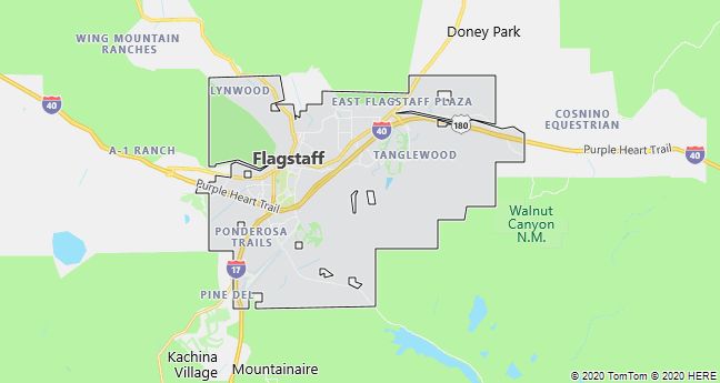
Flagstaff
Flagstaff, a city in northern Arizona, USA; 60,600 residents (2009). It was built by the Santa Fe Railway in the 1880’s and has since been a traffic hub and an important trading center (timber, cattle). In relation to excursion destinations such as the Grand Canyon and Meteor Crater, it has a central location, which together with recreational opportunities in the surrounding mountains attracts many tourists both summer and winter (skiing).
The city is world-renowned for its research in astronomy and astro-geology and houses three observatories, including the Lowell Observatory, from which the dwarf planet Pluto was discovered in 1930.
Parashant National Monument
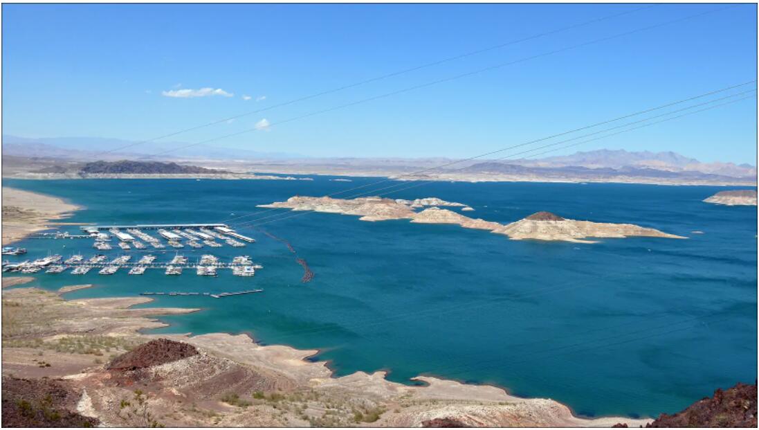
In the immediate vicinity of perhaps the most famous American national park – the Grand Canyon is the Parashant National Monument. It is an area of numerous natural beauties with a diverse landscape, which, however, also hides an interesting history. It is located on the border of the Colorado Plateau, the Mojave Desert and the Great Basin National Park in northwestern Arizona. The local landscape has been exposed to geological processes for 500 million years.
Parashant is bordered on the south by the Grand Canyon, on the west by the Nevada border, and on the north and east by Arizona. There are no paved roads leading to the area, so it is not very popular with tourists. And this is a great pity, because there are great conditions for hiking. Two main maintained routes pass through here – Mt. Trumbull and Mt. Trumbull and Mt. Dellenbaugh.
All other routes are not marked and maintained, so it is necessary to have sufficient equipment, such as a map, compass or GPS navigation. Mobile phones do not have a signal here, so inform your local rangers about your route before you go on a trip. This will give you more hope of finding you in the event of an accident or any difficulty. Also have plenty of food and especially drinking water with you. It is also not recommended to climb to areas where it is forbidden, some steep climbs can be difficult and dangerous for the inexperienced person.
You can also camp in the Parashant National Monument without any worries, you do not need any special permission. However, you will not find any official campsites here, if you need to sleep or camp in the area, it is up to you how you set up. You can visit the monument at any time of the year.