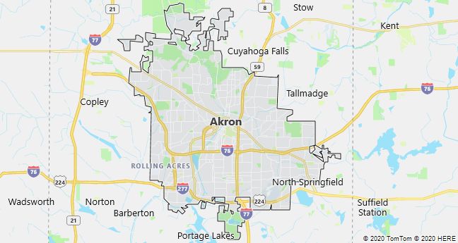
Akron
Akron, a town in northern Ohio, USA, founded 1825; 199,100 residents (2010). Akron was a significant industrial and commercial city in the 1800’s, by virtue of canal connections to The Great Lakes (1827) and Pittsburgh (1840), known as the “rubber capital of the world” with headquarters for the tire companies Firestone, General Tire and Goodyear. Like other cities in the industrial belt, it has been characterized by factory closures and emigration since the 1960’s. Home of the popular All-American Soap Box Derby.
Canton
Canton, an industrial city in northeast Ohio, USA; 73,000 residents (2010). The city in particular previously had a large production of steel, rubber and machinery, including vacuum cleaners, which began with the Hoover factory in 1908. In Canton, professional American football was organized, which was marked with the construction of the league’s Hall of Fame in 1963.

Cincinnati
Cincinnati, a city in southern Ohio, USA; 296,900 residents, of which 45% are black (2010). The city was founded in 1788 and was named after the Society of the Cincinnati, an organization of veterans of the American Revolutionary War. With the steamship sailing on the Ohio River, it became in the 1800’s. a regional center for trade and industry and was for a number of years the United States’ third largest city with a large influx of German immigrants. The city’s large pig slaughterhouses gave it the nickname Porkopolis. Since the 1960’s, the population has dropped by over 100,000 due to factory closures and emigration.
Among the city’s well-known companies is the soap and cosmetics group Procter & Gamble, which gave name to the concept of soap opera when they sponsored the radio series “The Puddle Family” in 1932. The cultural attractions include the Cincinnati Symphony Orchestra, and the city is home to America’s oldest professionals baseball club, Cincinnati Reds.

Cleveland
Cleveland (Ohio), a port city on Lake Erie in Ohio, USA; 396,800 residents, of which 53% are black (2010). The city was founded in 1796 and, like other cities in the industrial belt, had its heyday in the 1800’s. and until World War II, after which the population was almost halved due to factory closures and emigration. Among the hardest hit industries are the steel industry, which previously benefited from easy access to coal from the Appalachians (canal connection from 1830, railways since the 1840’s) and iron ore from the fields at Lake Superior (after the opening of the Soo Canal in 1855).
After the economic crisis, high unemployment, racial unrest and slum formation, the trend reversed in the 1980’s, when automotive and petrochemical industries gave the city new life, while Cleveland increasingly manifested itself in research and culture, including with extensive urban renewal.
Several of the city’s many research centers and cultural institutions, such as the Cleveland Clinic and the Cleveland Museum of Art, are gathered in and around University Circle 8 km east of downtown. Downtown Cleveland with The Mall is located at the formerly heavily polluted Cuyahoga River outlet in Lake Erie and is dominated by office and convention buildings. Here are also Cleveland Stadium and the Standard Oil Building, the headquarters of John D. Rockefeller’s oil company, grdl. 1870. The city’s attractions also include the famous Cleveland Orchestra and the NASA Lewis Research Center and the Rock And Roll Hall of Fame.

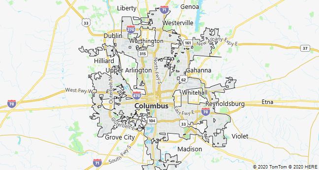
Columbus
Columbus (Ohio), the capital of Ohio, USA; 787,000 residents, of which 28% are black (2010). With good transportation links and a central Ohio location, the city is a natural center for a large catchment area. This applies administratively, culturally and not least educationally, where the large Ohio State University is one among several higher education institutions. The industry, which grew strongly in the years during and after World War II, is divided into many industries, including the aerospace and automotive industries as well as the food industry. South of the city is Rickenbacker Air Force Base, which also has an international airport and one of the federal military’s largest depots.
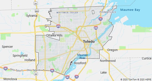
Toledo
Toledo (Ohio), a port city on Lake Erie in Ohio, USA; 287,200 residents (2010). Although the city has been hit by factory closures and emigration since World War II, it is still a significant industrial and transportation center with a large port turnover.
Leading colleges are the University of Toledo (1872) and the Medical College of Ohio (1964). The Toledo Museum of Art is one of the most significant art museums in the United States, founded in 1901 by glassmaker Edward D. Libbey (1854-1925).
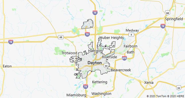
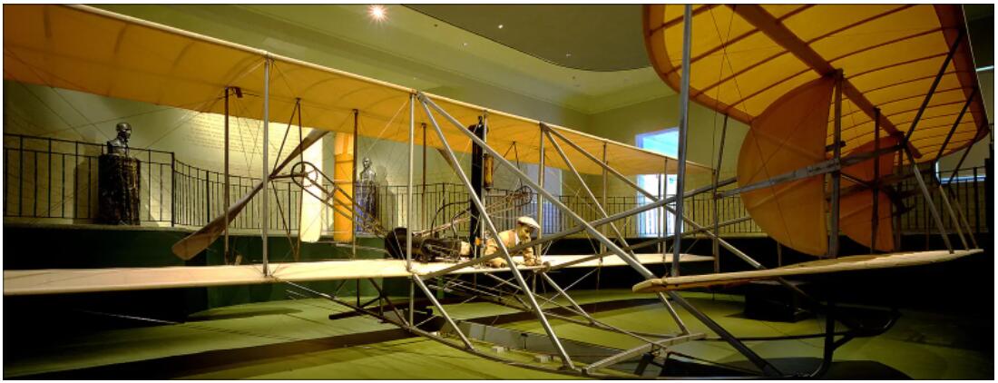
Dayton
Dayton, industrial city in southwest Ohio, USA; 141,500 residents, of which 43% are black (2010). The nickname “The Birthplace of Aviation” alludes to the fact that the Wright brothers here in 1902 manufactured the world’s first motorized airplane. With the Air Force Institute of Technology and Wright-Patterson Air Force Base, Dayton later became a national center for aviation research and home to one of the largest air bases in the United States. In November 1995, the base housed the negotiations that culminated in the Dayton Peace Agreement for Bosnia-Herzegovina and the former Yugoslavia.
Since the 1950’s, the city has been hit hard by corporate flight and emigration, but is still a regional center of commerce, industry and education.