Apart from a narrow coastal plain along the Gulf of Mexico and the Yucatán Peninsula, Mexico is a highland. 3/4 of the country consists of a central plateau or plateau, which is surrounded by mountain ranges Sierra Madre Occidental in the west and the Sierra Madre Oriental in the east. These are the continuations of the Sierra Nevada and Rocky Mountains in the United States, respectively, and reach altitudes of 3500-4000 meters. The western mountain range is tertiary and is dominated by volcanic rocks, while the eastern chain consists of flat sediments ( limestone, slate ) from chalk and tertiary. South of the capital Mexico City, the mountain ranges meet by a large, active rupture line, continuing south as an irregular, volcanic range of mountains (Cordillera Neovolcánica). Here are Mexico’s highest mountains, the volcanoes of Pico de Orizaba (5700 meters), Popocatépetl (5485 meters) and Ixtacíhuatl (5286 meters).
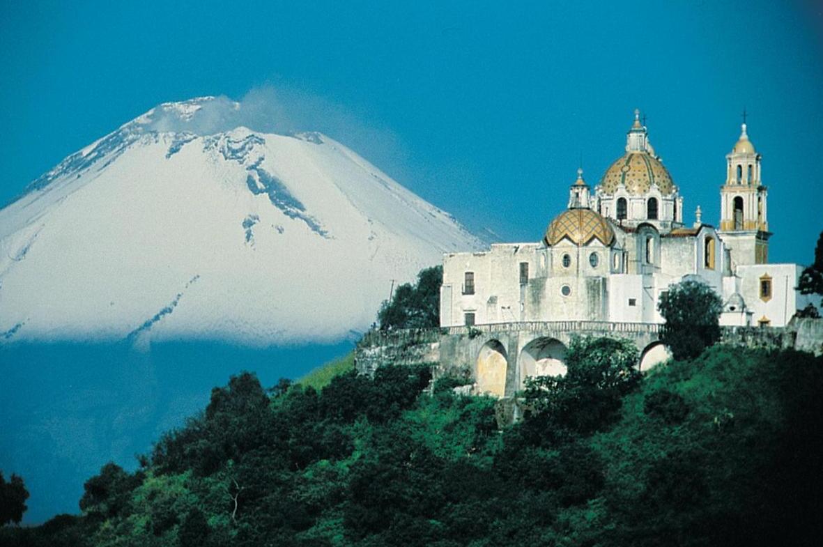
The Baroque Church Our Lady with the snow-covered volcano Popocatépetl in the background. The Aztec name of the mountain means “Smoky Mountains”. After decades without volcanic activity, there has been considerable activity since 1994.
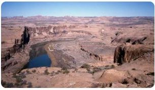
The central plateau in the north is about 1200 meters high and rises south to about 2500 meters around the capital, and is made up of ridge and basins. It consists mostly of folded sediments and intrusive rocks, with covers of recent basaltic lava. The southern part of the central plateau, Mesa Central, is very fragmented and characterized by recent volcanic activity. The rivers break through the highlands in deep gills (barrancos), including the Santiago-Lerma waterway that drains to the western part of the central plateau and flows into the Pacific through the Chapala Lake, the Pánuco-Moctezuma waterway that runs east to the Gulf Coast, and the Río Balsasproviding drains for the plateau’s southwest area. Several large pools, bowling zones, are without drains to the sea, in some there are large lakes. South of the central plateau, between the Pacific coast and the deep-cut river valley of Río Balsas, lies the Sierra Madre del Sur. The area is a strong stretch of highland with peaks at 3800 meters.
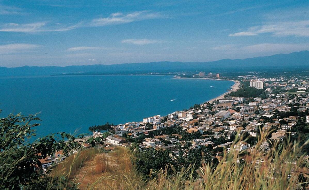
Puerto Vallerta, a popular resort on the Pacific coast.
The coastal plains along the Gulf of Mexico extend over 1300 km from the Rio Grande (Río Bravo del Norte) to the Yucatán Peninsula, and are up to 160 km wide. Large areas consist of swamps and saltwater lagoons. The lowlands along the Pacific are narrower. The Gulf of California almost completely breaks the land link with the long, narrow peninsula of Baja California, formed by a continuation of the California coastal mountains. The approximately 200 km broad low Tehuantepec Isthmus divides Mexico section from Central America and the flat Yucatan Peninsula, consisting of almost planar layer of limestone from tertiarywith clear so-called karst topography. Chiapash Highlands stretch from the Pacific and Tehuantepec-owned borders to Guatemala. The highlands consist of a number of parallel chains with the main direction northwest-southeast. The easternmost chain is the highest (up to 4000 meters above sea level) and is partly volcanic.
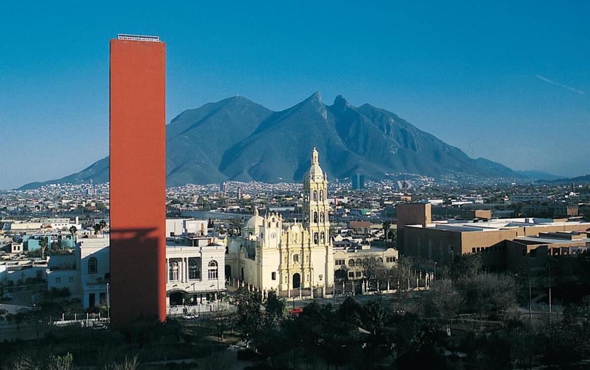
Monterrey is one of Mexico’s million cities and an important industrial center. In the foreground is the tower of El Faro del Comercio and the city’s cathedral. In the background is the mountain Cerro de la Silla (1575 masl).