Portsmouth
Portsmouth (New Hampshire), port city of New Hampshire, USA at the mouth of the Piscataqua River in the Atlantic Ocean; 20,800 residents (2010). The city was founded in 1630 and was the state capital until 1808. It is known for Strawberry Bank (a well-preserved historic district in the city center) and the nearby naval shipyard on Seavy’s Island, Portsmouth Naval Shipyard, which since World War II has been the largest manufacturer of submarines. 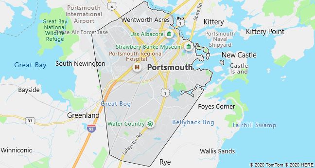
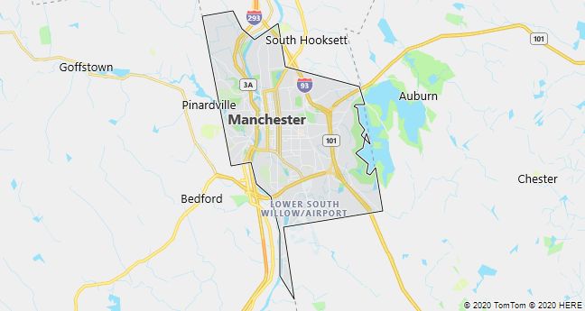
Manchester
Manchester (New Hampshire), largest city in New Hampshire, USA, located on the Merrimack River in the southern part of the state; 109,600 residents (2010). Like its namesake in England, it is historically associated with cotton spinning mills, which from 1805 until its closure in the 1930’s were dominated by The Amoskeag Manufacturing Company. Today, the city has a diverse industry and is known for The Currier Gallery of Art with a large collection of historic furniture, paintings and glassware.
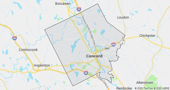
Concord

Concord, since 1808 the capital of New Hampshire, USA; 42,700 residents (2010). The town was built by the Massachusetts colony with the name Rumford, but got its current name after a dispute over the demarcation that in 1763 led to the city falling to New Hampshire.