Dearborn
Dearborn, suburb of the car city of Detroit, Michigan, USA; 98,200 residents (2010). Here is the headquarters of the Ford Motor Company, founded in 1903 by Henry Ford. Among the sights are the huge (5 ha) Henry Ford Museum and Greenfield Village, a large collection of historic buildings that Ford had rebuilt in its hometown, associated with famous Americans. 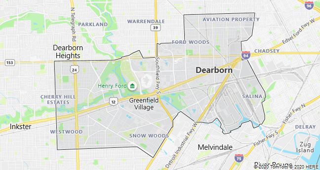
Detroit
Detroit, a port city on the Detroit River and Lake St. Clair in Michigan, USA, closely connected by bridge and tunnel to neighboring Canada, Windsor. 713,800 residents (2010), of which 83% are black; in the entire metropolitan area live 4.3 mill. The city was built in 1701 as the Fort Pontchartrain du Détroit.
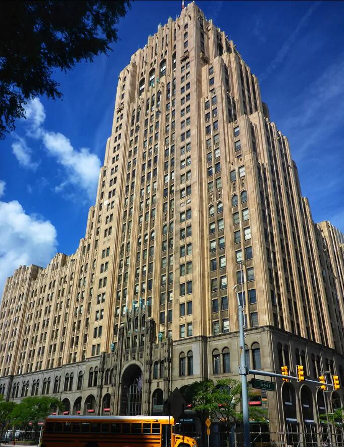
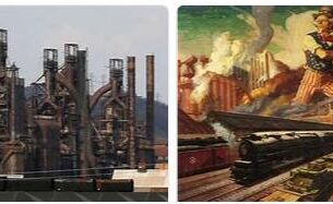
Already in the late 1800’s. Detroit was a large factory town, whose industries, food, steel and chemical industries, attracted many European workers. The founding of “The Big Three” shortly after the turn of the century – the car giants Chrysler, Ford and General Motors- further accelerated immigration, which after the recession and new immigration laws was replaced by a large number of black immigrants during World War II and up to the 1960’s. Since then, repeated crises in the car industry with many factory closures, high unemployment and high emigration have hit the city hard, with a population decline of approximately 650,000 in the period 1960-90 and with a further almost 300,000 1990-2010. The contrast between rich and poor and the tension between blacks and whites has been expressed several times in labor struggles and racial unrest. After one of the bloodiest uprisings, which cost more than 40 people their lives and caused damage to up to 500 million dollars, a comprehensive urban renewal project was initiated in 1967, after which approximately 15% of homes in downtown has been rehabilitated. Among the visible results is a shiny high-rise complex on the waterfront, the Renaissance Center, which, along with the Civic Center and the Joe Louis Sports Arena (built after World War II), stands as a symbol of the new Detroit.
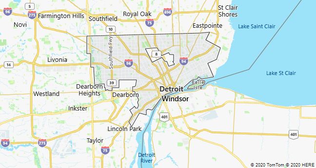
The city’s nickname, The Motor City, is found in the record label Motown, which launched a large number of black groups in the 1960’s. The old record studio, which functioned 1959-72, was later converted into a museum. Other examples of the importance of black culture, in professional boxing and other sports, can be seen at the Museum of African-American History. The museum is located in a large cultural center together with Detroit Institute of Art, which in its large collection of contemporary art houses the Mexican Diego Rivera’s enormous fresco Detroit Industry (1933). The city’s main attractions, the Henry Ford Museum and Greenfield Village, are located in the suburb of Dearborn.
Detroit has a smaller urban railway, The People Mover, which since 1987 has served the city center with a 4.7 km long elevated railway. With modern art at the stations, it makes its mark on the cityscape, but the number of passengers has been falling sharply since the first years.
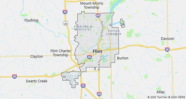
Flint
Flint, industrial city of Michigan, USA, 90 km NW of Detroit; 102,400 residents, of which 57% are black (2010). Since the founding of General Motors in 1908, the automotive industry has been crucial to the city’s well-being. After extensive factory closures, it has been characterized by emigration, poverty and high unemployment since the 1970’s. The inconsolable conditions in today’s Flint are portrayed in Michael Moore’s award – winning film Roger & Me from 1989.
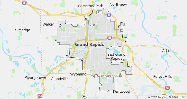
Grand Rapids
Grand Rapids, a city in Michigan, USA, 90 km west of the capital Lansing; 188,000 residents (2010). It houses several higher education institutions and is an important regional center for transport, trade and industry. The city’s furniture industry, whose history dates back to 1858, is one of the largest in the United States.
Lansing
Lansing, the capital of Michigan, USA, 130 km NW of Detroit; 114,000 residents (2010). The town’s name has been associated with the automotive industry since Ransom E. Olds set up Olds Motor Works in 1899, where a few years later the popular Oldsmobile was mass-produced. The factory and company were later incorporated into General Motors, which still has branches in the city. In nearby East Lansing is Michigan State University (1855).

Battle Creek
Battle Creek, Southern Michigan City, USA, Grdl. 1831, 53,400 residents (2000). The city is home to the worldwide cornflakes group Kellogg and is also known in the United States for hosting the annual “Cereal City Festival”.
The name of the town refers to a clash between a group of surveyors and two Indians at the site in 1823. The founding assembly of the Seventh-day Adventists was held in Battle Creek in 1863.

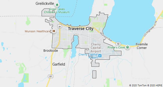
Traverse City
Traverse City, city of Michigan, USA, on Lake Michigan 390 km NW of Detroit; 14,700 residents (2010). The town, surrounded by orchards and golf courses, is a major producer of cherries and a popular resort. The lighthouse at the tip of the nearby Old Mission peninsula stands exactly midway between the equator and the North Pole.